Terrain mapping with drones, LiDAR versus photogrammetry
How drones map terrain, when to choose LiDAR over photogrammetry, and how RTK and ground control deliver survey-grade elevation data under EASA rules in 2026.
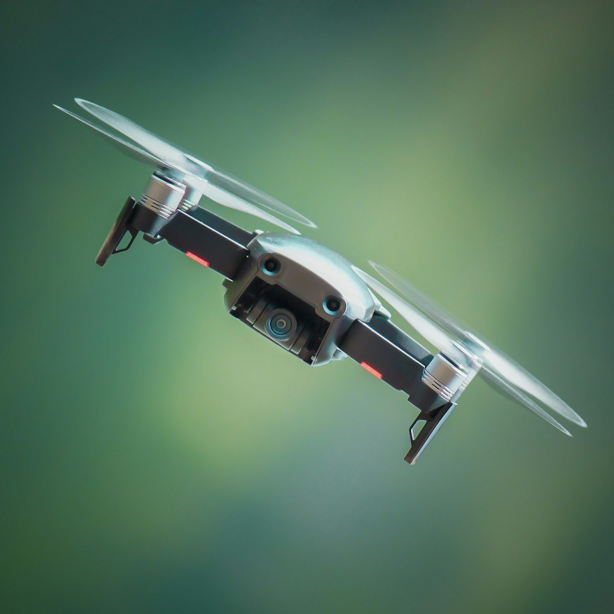
Drones map terrain by capturing either overlapping photographs for photogrammetry or laser returns for LiDAR, then processing that data into elevation models, contours and 3D surfaces. The core choice is between photogrammetry, which is cheaper and delivers rich visual maps, and LiDAR, which sees the ground through vegetation and gives cleaner terrain models where trees block the view.
This guide explains how each method works and how to reach survey-grade accuracy as of 2026.
What is the difference between LiDAR and photogrammetry?
Photogrammetry reconstructs terrain from overlapping photos, while LiDAR fires laser pulses and measures their return time to build a point cloud directly. The decisive practical difference is vegetation: LiDAR pulses can reach the ground between leaves, whereas photogrammetry only maps what the camera can see.
The comparison in short:
- Photogrammetry is cheaper, uses a standard camera, and produces coloured, photo-realistic maps, but struggles under trees, on water and over uniform surfaces.
- LiDAR penetrates vegetation to model bare earth, works in low light, and gives clean terrain data, but costs far more and produces no natural colour by itself.
- Both can achieve high accuracy with good positioning and control.
If your site is open ground, photogrammetry usually wins on cost and imagery. If you must model terrain hidden beneath forest canopy or dense vegetation, LiDAR is often the only option that delivers true ground elevation.
Which method should you choose for a given job?
Choose photogrammetry for open sites and visual deliverables, and LiDAR for vegetated terrain, corridor mapping or where bare-earth elevation is critical. The deliverable and the site cover decide it more than any preference for one technology.
Decision guide:
- Open land, stockpiles, construction sites: photogrammetry gives excellent, cost-effective results with colour imagery.
- Forested or heavily vegetated terrain: LiDAR reveals the ground beneath cover that photogrammetry cannot.
- Power line and corridor surveys: LiDAR captures thin wires and vegetation encroachment reliably.
- Volume and area measurement on open sites: photogrammetry is usually sufficient.
- Flood modelling and drainage: LiDAR bare-earth models are often preferred.
Budget also plays a role. LiDAR payloads and processing cost substantially more, so many operators start with photogrammetry and add LiDAR only when jobs genuinely require it.
How do you achieve survey-grade accuracy?
Survey-grade accuracy comes from precise positioning, using RTK or PPK, combined with ground control points that tie the model to real coordinates. Neither photogrammetry nor LiDAR is accurate in absolute terms without proper georeferencing, no matter how detailed the model looks.
The accuracy toolkit:
- RTK or PPK positioning tags each photo or laser point with a precise position, greatly improving absolute accuracy.
- Ground control points, surveyed markers placed across the site, anchor the model and let you check its accuracy.
- Checkpoints, independent surveyed points not used in processing, verify the final result honestly.
- Consistent flight planning with adequate overlap for photogrammetry or line spacing for LiDAR.
A model can look flawless yet sit metres out of position without georeferencing. Absolute accuracy, how well it matches true coordinates, is what survey and engineering work demand, and that is where control points and RTK earn their keep. Matching your method and control plan to the required deliverable is exactly the kind of planning the dronexamine trainer encourages before every mission.
What flight planning does terrain mapping need?
Plan automated grids or corridors with the right overlap or line spacing, adjust altitude for your target detail, and account for terrain that rises and falls beneath the drone. Flat-plan flights over hilly ground produce uneven detail unless the plan follows the terrain.
Planning essentials:
- Terrain-following flight, where supported, keeps a consistent height above ground on slopes, giving uniform detail.
- Overlap for photogrammetry around 70 to 80 percent, increased over difficult surfaces.
- Line spacing and pulse density for LiDAR set to capture the detail your deliverable requires.
- Even lighting for photogrammetry, since shadows and changing light degrade image matching.
- Airspace and category checks before every flight, because rural sites still have restrictions.
Wind matters too. A drone fighting gusts holds altitude and spacing less consistently, which shows up as uneven coverage. Plan around calm conditions where accuracy is critical.
How do you process and deliver terrain data?
Process raw images or point clouds into elevation models, contours, orthomosaics and 3D meshes using dedicated software, then validate against checkpoints before delivery. Processing is where accuracy is confirmed or lost, so treat the reports it produces as seriously as the flight itself.
Common outputs:
- Digital terrain model (DTM): bare-earth elevation with vegetation and structures removed.
- Digital surface model (DSM): everything, including trees and buildings.
- Contours and cross-sections for engineering and drainage design.
- Orthomosaic for a scaled, measurable aerial map (photogrammetry).
- Classified point cloud separating ground, vegetation and structures (especially LiDAR).
Always check the processing report for accuracy figures and coverage, and compare against independent checkpoints. Delivering a terrain model without validating it against known points risks handing a client data that is precise-looking but wrong.
Common questions
Is LiDAR always more accurate than photogrammetry? Not necessarily. On open ground, well-controlled photogrammetry can match LiDAR on accuracy at a fraction of the cost. LiDAR’s real advantage is seeing the ground through vegetation and capturing thin features like wires. Choose based on site cover and deliverable, not a blanket assumption that laser beats camera.
Do I need RTK for terrain mapping? For survey-grade absolute accuracy, RTK or PPK is a major advantage, but you can also achieve strong results with well-placed ground control points. For rough or relative measurements, neither may be essential. Match the positioning method to the accuracy your client actually needs rather than always reaching for the most expensive option.
Can one drone do both LiDAR and photogrammetry? Some drones carry interchangeable or combined payloads that capture laser and imagery together, giving both a point cloud and colour. These integrated systems are expensive and heavier, which affects your EASA category. Confirm the total weight and where you can legally fly before assuming a combined payload solves everything.
How does terrain mapping affect my flight category? The category depends on drone weight, class and where you fly, not the mapping method. Heavier LiDAR platforms may exceed common weight thresholds, and remote sites still have airspace rules. Check your drone’s weight and the site’s restrictions, then confirm whether the job fits the Open or Specific category before flying.
Your next step
Define the deliverable and the site cover first, because those two facts decide whether photogrammetry or LiDAR fits and how much control you need. Start with photogrammetry on open ground to build confidence, then validate every model against checkpoints. Use the dronexamine guides to confirm your drone’s weight and the airspace rules for your survey site before you fly a mapping mission.
Related articles
Infrastructure inspection drones, methods and rules
How drones inspect bridges, power lines, towers and roofs, why close-proximity work often needs the Specific category, and how to plan safe inspection flights in 2026.
Drones in agriculture, uses, rules and getting started
How drones are used in farming for mapping, scouting and spraying, which EASA category spraying falls under, and what you need to operate agricultural drones in 2026.
Thermal cameras on drones, how they work and when to use them
How drone thermal cameras work, what resolution and radiometric data mean, and which inspection, search and agriculture tasks justify a thermal payload in 2026.