Infrastructure inspection drones, methods and rules
How drones inspect bridges, power lines, towers and roofs, why close-proximity work often needs the Specific category, and how to plan safe inspection flights in 2026.
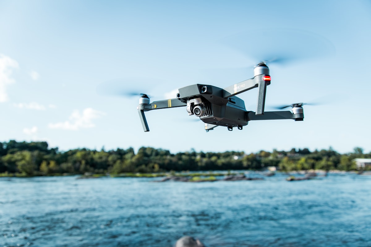
Drones inspect infrastructure such as bridges, power lines, wind turbines, towers and roofs by capturing close-up imagery that would otherwise need scaffolding, rope access or a helicopter. Because inspection usually means flying close to structures, and sometimes near people or busy areas, much of this work moves out of the Open category and into the EASA Specific category.
This guide explains the main inspection methods and the rules that govern them as of 2026.
What can drones inspect and why use them?
Drones inspect any structure that is tall, hazardous or hard to reach, delivering detailed imagery quickly and without putting people at height. They replace slow, expensive and dangerous manual access for a first-pass or routine inspection.
Common targets include:
- Bridges: underside, bearings, cables and hard-to-reach spans.
- Power lines and pylons: conductors, insulators and fittings, often with thermal to find hot joints.
- Wind turbines: blade surfaces for cracks, erosion and lightning damage.
- Telecom and transmission towers: antennas, welds and structural members.
- Roofs and facades: tiles, membranes, gutters and cladding on buildings.
- Solar farms: panel faults using thermal imaging across large arrays.
The value is speed and safety. A drone surveys a structure in a fraction of the time of rope access, keeps inspectors on the ground, and produces a repeatable photographic record you can compare year on year.
Which EASA category does inspection work fall under?
It depends on proximity, location and drone weight, but close-proximity inspection near structures, people or built-up areas frequently requires the Specific category. Open category limits on distance from uninvolved people and on flying over congested areas often cannot be met near real infrastructure.
As of 2026:
- Simple, open-site inspections far from people, such as a rural pylon, may fit A3 in the Open category.
- Urban, roadside or occupied-building inspections usually breach Open category distance rules, requiring a Specific category operational authorisation from your national aviation authority (NAA).
- Beyond visual line of sight work, such as long power-line corridors, is a Specific category operation needing specific approval.
The determining factors are how close you fly to uninvolved people, whether you overfly them, and whether you can keep visual line of sight. When the location makes Open category limits impossible, you need an authorisation. If you are unsure where that line sits, the dronexamine material lays out the Open category distance rules clearly.
How do you plan a safe inspection flight?
Start with a site survey and risk assessment covering airspace, people, obstacles and the structure itself, then plan flight lines, buffers and emergency procedures before you arrive. Close-proximity flying leaves little margin, so preparation matters more than raw piloting skill.
A solid plan covers:
- Airspace check for controlled zones, aerodromes, restrictions and any need for coordination.
- Ground risk including cordoning off areas, keeping uninvolved people clear and managing traffic near roads or railways.
- The structure and how metal, cables or tall masses may disturb your compass and GPS.
- Flight lines and standoff distances that give the detail you need without risking a collision.
- Emergency procedures for lost link, low battery or a fly-away, including where the drone should go.
Walk the site first where possible. Knowing where you can stand, where people move and where obstacles sit turns a risky flight into a controlled one.
How do you deal with interference near structures?
Large metal structures and power lines can disturb your compass and degrade GPS, so calibrate away from the structure, watch your position hold, and be ready to fly manually. Magnetic interference near steel and current near power lines are the two hazards that most often catch inspection pilots out.
Practical measures:
- Calibrate the compass away from the structure, on open ground, not beside the steel you are about to inspect.
- Watch for toilet-bowling or drift when close to metal, which signals compass interference.
- Expect weaker GPS in the shadow of large structures, tunnels or bridge undersides, and keep manual control skills sharp.
- Near power lines, be alert to electromagnetic interference on your compass and control link.
Practising manual, non-GPS flight pays off here, because the moment you most need control is often the moment satellite positioning becomes unreliable. Our companion guides on compass calibration and GPS interference go deeper on both.
What sensors and outputs do inspections use?
Most inspections use high-resolution visual cameras, often paired with thermal and sometimes zoom lenses, producing imagery, thermal maps and 3D models. The sensor choice follows the defect you are hunting for.
Typical setups:
- High-resolution RGB for cracks, corrosion and general condition, sometimes with optical zoom to keep standoff distance.
- Thermal cameras to find overheating electrical joints, water ingress, delamination and faulty solar panels.
- Photogrammetry to build 3D models for measurement and change detection over time.
- Structured flight patterns so the same asset is captured identically on each visit for comparison.
Repeatability is the goal for asset management. A model or image set you can compare against last year’s turns inspection from a snapshot into a trend you can act on.
Common questions
Do I always need the Specific category to inspect a building? Not always, but often. If you can keep the required distance from uninvolved people and stay within Open category limits, an inspection may fit A3. In towns, near occupied buildings or over roads, you usually cannot, and you then need a Specific category authorisation from your NAA. Assess each site individually.
Can I inspect power lines with a standard camera drone? For a basic visual check, sometimes, if you stay in a legal category and manage interference. For real fault-finding, thermal imaging is far more useful because it reveals hot joints invisible to a normal camera. Long line corridors flown beyond visual line of sight require a Specific category operation regardless of the sensor.
How do I handle GPS loss under a bridge? Expect it and prepare. Practise manual flight, approach with enough clearance to recover if position hold drops, and know your drone’s behaviour without GPS. Keep the aircraft in sight and avoid tight gaps where a sudden drift could cause a collision. Rehearse the scenario before you rely on it.
Is inspection work profitable enough to justify a thermal drone? It depends on your workload. Thermal capability opens electrical, solar and building-envelope inspections that command higher fees, but the hardware and training cost is significant. Consider your likely volume of thermal-specific jobs, and whether renting or subcontracting covers demand before buying outright.
Your next step
Pick one asset type you want to inspect, survey a real site, and honestly assess whether it fits the Open category or needs a Specific category authorisation. Build your manual flying and interference-handling skills before working close to structures. Use the dronexamine guides to confirm exactly where your intended inspection work sits in the EASA framework before you take on paid jobs.
Related articles
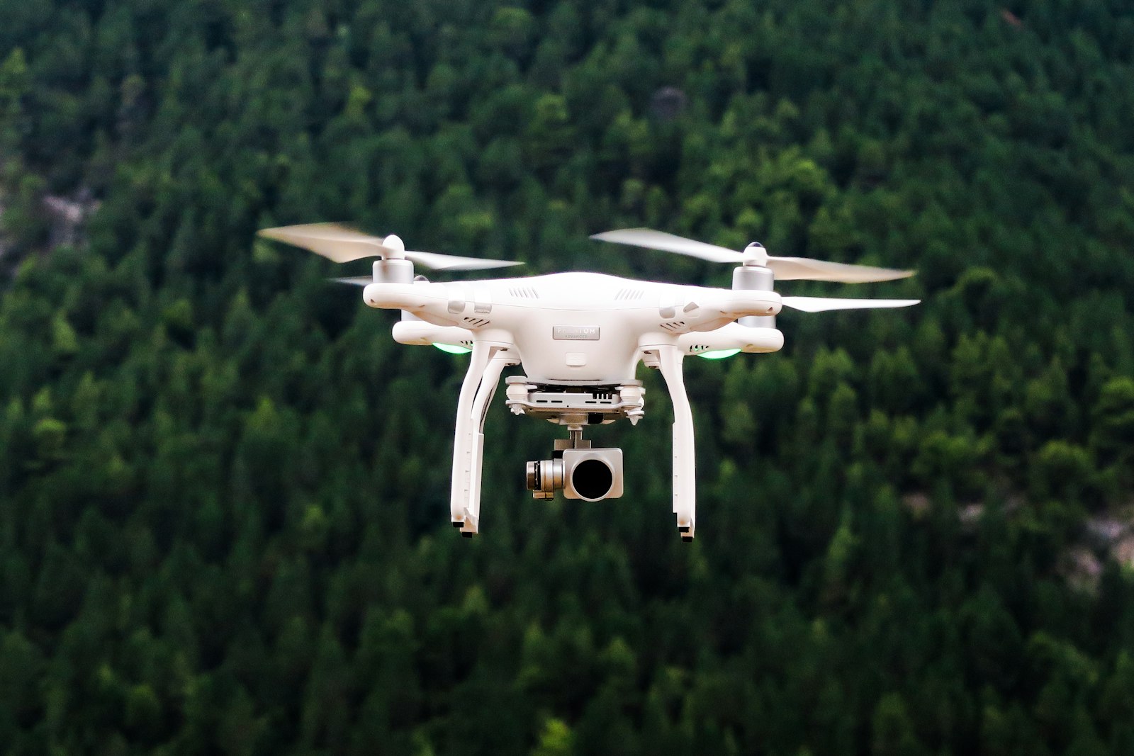
Thermal cameras on drones, how they work and when to use them
How drone thermal cameras work, what resolution and radiometric data mean, and which inspection, search and agriculture tasks justify a thermal payload in 2026.
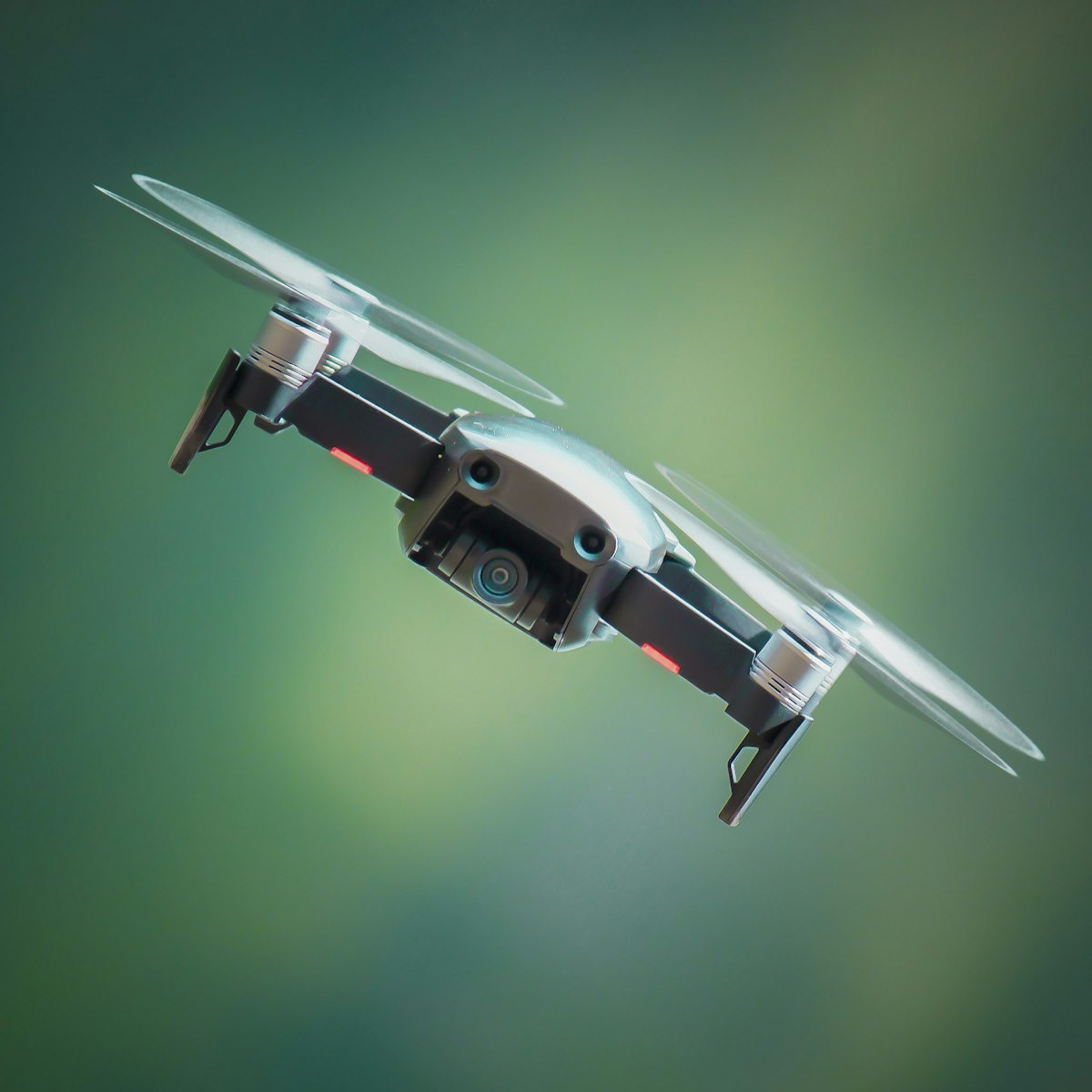
Terrain mapping with drones, LiDAR versus photogrammetry
How drones map terrain, when to choose LiDAR over photogrammetry, and how RTK and ground control deliver survey-grade elevation data under EASA rules in 2026.
Drones in agriculture, uses, rules and getting started
How drones are used in farming for mapping, scouting and spraying, which EASA category spraying falls under, and what you need to operate agricultural drones in 2026.