Drones in agriculture, uses, rules and getting started
How drones are used in farming for mapping, scouting and spraying, which EASA category spraying falls under, and what you need to operate agricultural drones in 2026.
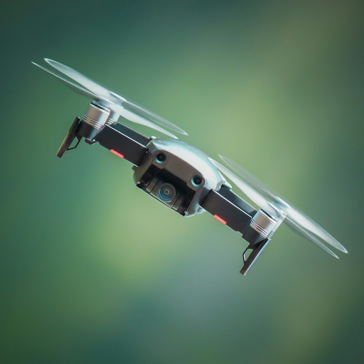
Agricultural drones save time and inputs by mapping crop health, scouting problem areas and, for spraying models, applying treatments precisely where they are needed. Most survey and scouting work fits the EASA Open category, but spraying almost always pushes you into the Specific category because of the drone’s weight and the dispersal of substances.
This guide covers the main uses and the rules that apply to agricultural drone work as of 2026.
What are drones actually used for in farming?
Drones are used mainly for crop monitoring, mapping and targeted spraying, replacing slower ground surveys and blanket treatments. A multispectral or standard camera drone flies a field in minutes and reveals patterns that are invisible from the ground.
The common applications are:
- Crop health mapping using multispectral sensors to compute vegetation indices such as NDVI, highlighting stressed areas.
- Scouting to check for pests, disease, weeds or irrigation problems without walking every row.
- Field and boundary mapping to measure areas, plan planting and track changes over a season.
- Spraying and spreading with dedicated heavy-lift drones that apply liquid or granular products.
- Livestock checks and fence inspection on large or difficult terrain.
Mapping and scouting deliver value even with a modest camera drone, while spraying needs specialised, much heavier aircraft with tanks, pumps and nozzles.
Which EASA category does farm drone work fall under?
Mapping and scouting with a light camera drone usually sit in the Open category, but agricultural spraying almost always falls into the Specific category. The reason is weight combined with the act of dispersing substances, which raises the risk beyond what the Open category allows.
As of 2026:
- Survey and scouting with a drone under 25 kg can often run in the Open category, typically A3 given rural fields, if you keep clear of uninvolved people.
- Spraying drones are large, frequently well over 25 kg with a full tank, and dispersing chemicals takes them outside the Open category entirely.
- Specific category operations need a risk assessment and an operational authorisation from your national aviation authority (NAA), often based on a standard scenario or a SORA assessment.
Do not assume that flying “just over your own field” removes these obligations. The category is set by the drone and the operation, not by land ownership. When you are mapping which rules apply to a given task, the dronexamine material makes the Open versus Specific boundary easier to place.
What do you need to fly a spraying drone legally?
You need an operational authorisation from your NAA, appropriate pilot competency for the Specific category, and compliance with national rules on applying agricultural chemicals. Spraying sits at the intersection of aviation law and pesticide law, so both sets of rules apply at once.
Typically you will need:
- Operator registration and a Specific category operational authorisation, or approval under a standard scenario if one exists for spraying in your country.
- Remote pilot competency beyond the basic Open category certificates, often including practical training relevant to the operation.
- A licence to apply plant protection products, because national agricultural rules govern who can spray what, and where, independently of drone law.
- A declared or approved concept of operations describing the area, buffers and safety measures.
Check with your NAA early. Some countries have well-developed frameworks for agricultural spraying by drone, while others are still restrictive, and the requirements differ significantly.
How do you get accurate agricultural maps?
Fly automated grid missions with consistent overlap and a suitable sensor, then process the images into orthomosaics and index maps. For measurements and comparisons over time, add ground control points or use RTK positioning so each survey aligns with the last.
Practical guidance:
- Use a mapping app to plan automated flights with around 70 to 80 percent overlap for reliable stitching.
- Choose the right sensor: a standard RGB camera shows visible problems, while a multispectral sensor reveals plant stress before it is visible.
- Fly in even light to avoid shadows that distort index calculations.
- Georeference properly with ground control or RTK if you need to compare surveys or drive machinery from the data.
Consistency matters more than a single perfect flight. Repeating the same altitude, overlap and time of day lets you track how a field changes week to week, which is where the real agronomic value lies.
What are the practical limits and risks?
Battery life, payload weight, weather and airspace all constrain agricultural flying, and spraying adds chemical drift and buffer zones. A heavy spraying drone drains batteries fast and demands careful planning around bystanders, water courses and neighbouring crops.
Key constraints:
- Endurance: heavy-lift spraying drones may fly only a few minutes per battery under load, so plan swaps and charging.
- Weather: wind causes spray drift and reduces mapping accuracy; check limits before every job.
- Buffers: keep required distances from water, dwellings and non-target crops, following national rules.
- Airspace: rural does not mean unrestricted; check for low-flying military routes, aerodromes and temporary restrictions.
Treat spraying as a professional operation with a written plan, not a casual flight, because the consequences of drift or a crash carry both safety and legal weight.
Common questions
Can I map my own farm without any authorisation? Often yes for the flying, if you stay in the Open category, register as an operator and keep clear of uninvolved people. But owning the land does not exempt you from EASA rules or airspace restrictions. Confirm your subcategory and check for local airspace limits before treating it as a free-for-all.
Do I need a special licence to spray with a drone? Yes, usually two. You need aviation approval for a Specific category operation from your NAA, and separately a national licence to apply plant protection products. The two are governed by different authorities, and both must be satisfied. Check requirements in your country well before buying a spraying drone.
Is a multispectral camera worth it for a small farm? It depends on your goals. Multispectral sensors reveal crop stress earlier than the eye or a standard camera, which helps target inputs. For a small operation, a good RGB camera plus regular scouting may be enough. Consider renting or hiring a service before investing in a dedicated multispectral drone.
How much area can one drone cover in a day? It varies with the drone, battery logistics and task. Mapping drones can survey many hectares per flight at survey altitude, while spraying drones cover far less per battery because of the payload. Plan around battery swaps, refills and charging rather than a single continuous flight.
Your next step
Decide whether you need mapping, scouting or spraying, because that choice determines your category and your entire compliance path. Start with survey work in the Open category to build experience, then engage your NAA early if you intend to spray. Use the dronexamine guides to confirm which category and competencies your intended agricultural operations require before you invest in equipment.
Related articles
Terrain mapping with drones, LiDAR versus photogrammetry
How drones map terrain, when to choose LiDAR over photogrammetry, and how RTK and ground control deliver survey-grade elevation data under EASA rules in 2026.
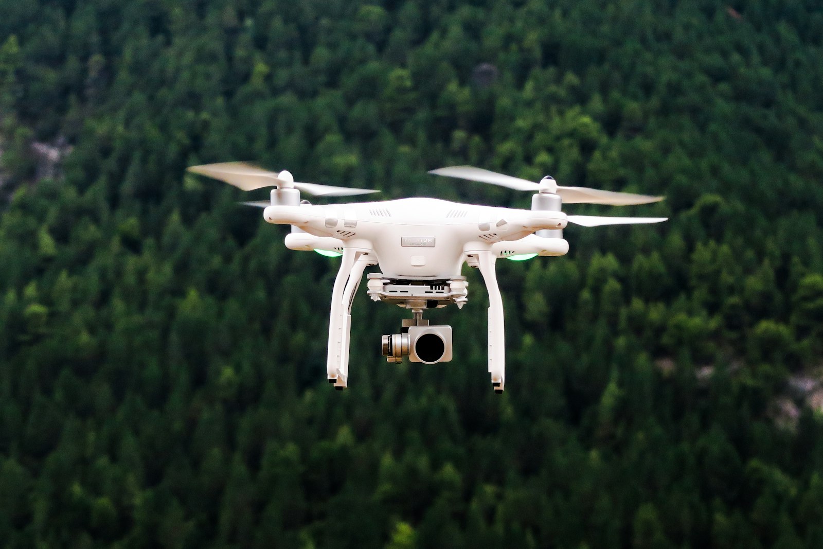
Thermal cameras on drones, how they work and when to use them
How drone thermal cameras work, what resolution and radiometric data mean, and which inspection, search and agriculture tasks justify a thermal payload in 2026.
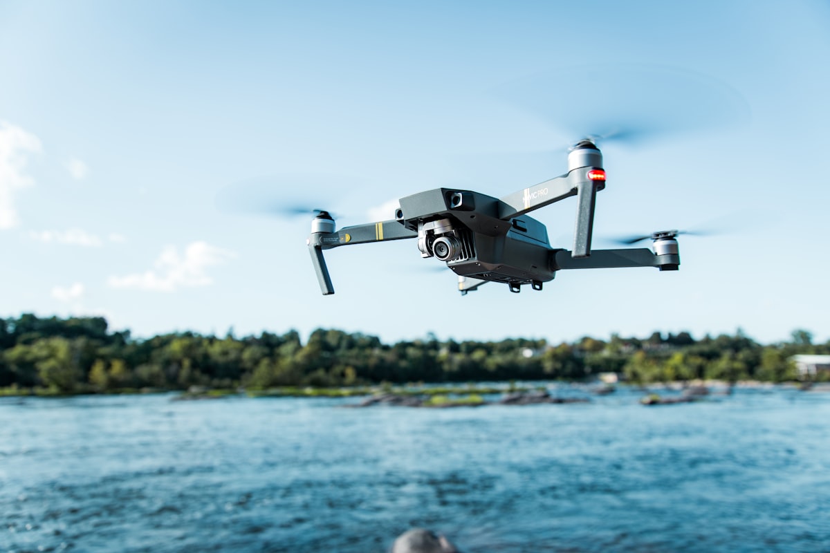
Infrastructure inspection drones, methods and rules
How drones inspect bridges, power lines, towers and roofs, why close-proximity work often needs the Specific category, and how to plan safe inspection flights in 2026.