Drone distance from airports under EASA rules
How far from an airport can you fly a drone? How EASA geographical zones, control zones and airport rules define drone no-fly areas, explained for 2026.
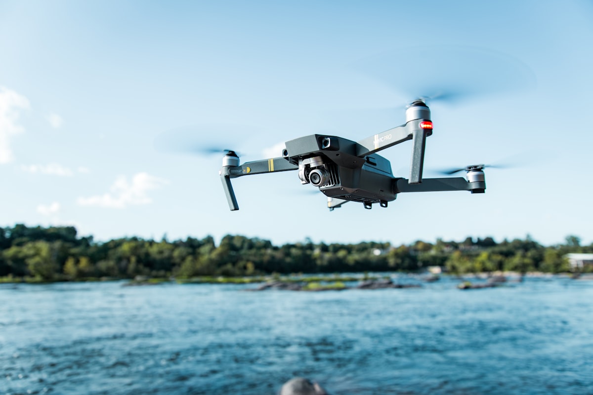
There is no single EU-wide distance from airports, because EASA uses geographical zones and control zones rather than one fixed radius, and each airport’s protected area is set nationally. In practice you must check the national geographical zone map, since flying near an airport without checking is one of the most serious mistakes a drone pilot can make.
This guide explains why there is no universal number, how to find the real restriction, and what to do if you need to fly near an airport.
How far from an airport can you legally fly?
It depends on the airport and country, because the protected area is defined by geographical zones and airspace structure, not by a single EASA-wide distance. Some pilots expect a fixed radius, but EASA deliberately delegates these boundaries to member states, so the restriction around one airport can look very different from another.
What actually defines the restriction as of 2026:
- Geographical zones designated by the member state around aerodromes and sensitive airspace.
- Control zones and controlled airspace where drone flight may be prohibited or need clearance.
- National aerodrome rules that can add their own protected areas.
Because these are set locally, the honest answer to “how far” is: check the specific airport in your national zone system. A rule of thumb from another country will not keep you legal.
Why is there no single EU-wide distance?
EASA sets the framework but lets each state draw the zones, so distances, shapes and conditions vary by airport and country. Airspace around a busy international hub is structured differently from a small regional strip, and national authorities tailor the protected areas to local traffic and geography.
Reasons for the variation:
- Airports differ enormously in size, traffic and surrounding airspace.
- Control zones are shaped by approach and departure paths, not by simple circles.
- Member states implement the geographical zone system in their own way.
- Some zones are outright prohibitions while others allow flight with clearance.
So the same drone activity can be forbidden near one airport and permitted with authorisation near another. This is exactly why the geographical zone map, not a memorised distance, is your reference.
How do you find the real restriction for a specific airport?
Use your country’s official geographical zone map or app, which shows the airport’s protected zones and their conditions. This is the authoritative source, and most EASA states now publish an official map or application that displays where you can and cannot fly.
A reliable process:
- Open the official national geographical zone map or app for your country.
- Locate the airport and read the zone type: prohibited, restricted or conditional.
- Note any height limits, which are often much lower than the standard 120 metres.
- Check whether flight is possible with clearance and how to request it.
- Confirm with your national aviation authority (NAA) if the status is unclear.
Do not rely on general apps that are not the official national source, as their data may be incomplete. The dronexamine study material explains how geographical zones and control zones work so you can read these maps with confidence.
Can you get clearance to fly near an airport?
Sometimes, through coordination with air traffic control or the airport, depending on the zone and your country’s procedures. Where a zone is conditional rather than prohibited, there is often a route to fly with prior authorisation, but it is never automatic and must be arranged in advance.
What clearance typically involves:
- Contacting the relevant air traffic service or airport unit through the official procedure.
- Providing your operation details, location, height and timing.
- Agreeing conditions, such as a height cap or a specific time window.
- Holding the required operator registration, pilot competency and often insurance.
In many cases, U-space or dedicated authorisation systems are emerging to manage such requests. Never assume a phone call on the day is enough; follow the formal procedure your NAA specifies.
What are the risks of getting it wrong?
Flying too close to an airport risks a collision with crewed aircraft and serious legal penalties, and enforcement in these zones is strict. A drone near an approach path is one of the highest-consequence hazards in the whole regulatory framework, which is why authorities treat breaches severely.
Consider the stakes:
- Collision risk with aircraft carrying passengers, particularly at low altitude on approach.
- Airport disruption, where a single drone sighting can halt operations.
- Significant penalties, which are set nationally and can include heavy fines or worse.
- Flight-log evidence, since your drone records where and how high it flew.
There is no acceptable reason to fly into an airport protection zone without authorisation. When in doubt, stay well clear and confirm the boundary before you launch.
Common questions
Is there a standard 5 kilometre rule around airports in the EU? No. There is no single EASA-wide distance such as 5 kilometres. Protected areas are defined by geographical zones and control zones set nationally, and they vary in size and shape by airport and country. Always check the official national zone map for the specific airport rather than applying a number from elsewhere.
Can I fly near a small local airfield without checking? No. Even small airfields and heliports usually have protected zones, and traffic there can be low and fast. Check the national geographical zone map for that specific site and follow any clearance procedure. Small does not mean unregulated, and the collision risk is real.
Does a sub-250 gram drone escape airport zones? Generally not. Airport protection zones are about airspace safety, so they typically apply regardless of drone weight. A light drone near an approach path is still a hazard to crewed aircraft. Check the specific zone rules, as weight-based exemptions in these areas are the exception, not the rule.
How do I request clearance to fly in a control zone? Through the official procedure your NAA and the relevant air traffic service specify, arranged in advance. This may involve a formal request with your operation details and agreed conditions, and increasingly through emerging U-space systems. It is never a same-day, informal arrangement. Contact your NAA to learn the correct process for that airspace.
Your next step
Before flying anywhere near an airport, open the official national geographical zone map, identify the zone type and any height limit, and follow the clearance procedure if flight is conditional. If the status is unclear, contact your NAA and stay well clear until you have an answer. Use the dronexamine guides to understand geographical zones and control zones so you can read airport airspace correctly every time.
Related articles
Maximum drone altitude under EASA rules explained
How high can you fly a drone in the EU? The 120 metre EASA limit, how it is measured, exceptions near obstacles, and Specific category rules for 2026.
What is U-space, the future of drone airspace explained
What U-space means under EU rules, which services it provides, and how designated U-space airspace changes drone operations for professionals in 2026.
Flying drones near power lines safely under EASA
How to fly a drone safely near power lines: magnetic interference, invisible cables, inspection rules and EASA obligations for pilots in 2026.