Photogrammetry basics, drone mapping for beginners
How drone photogrammetry works, how to plan flights with overlap and GSD, and what gear you need to turn photos into accurate maps and 3D models.
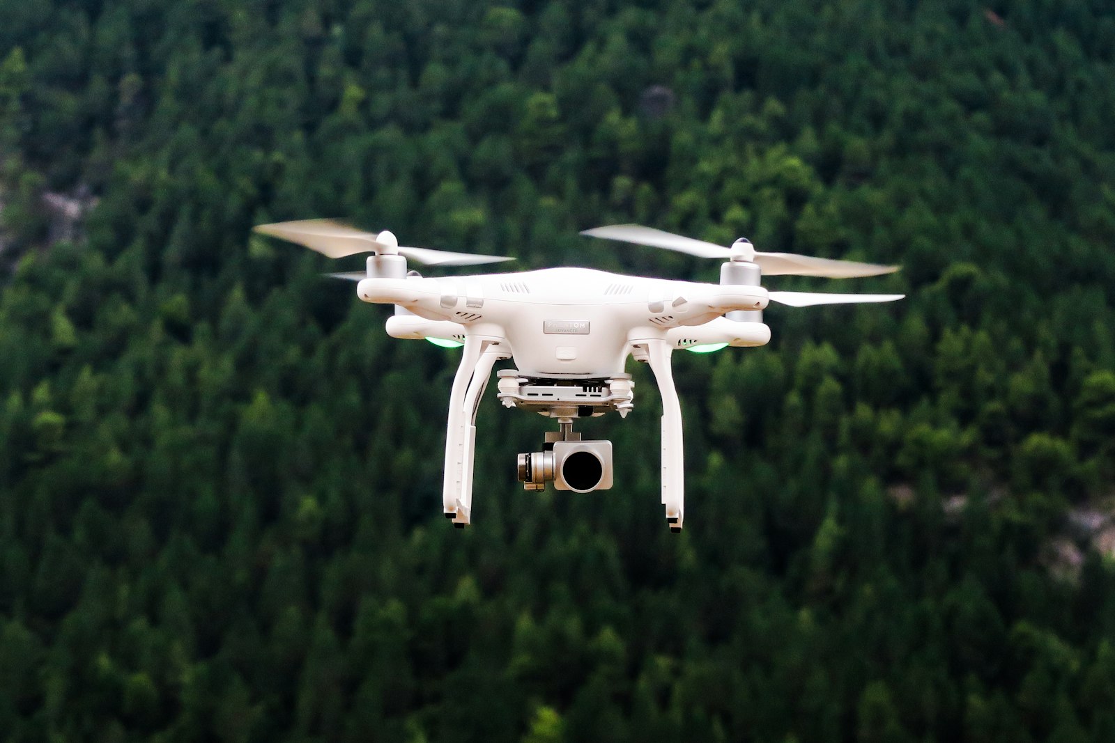
Photogrammetry turns many overlapping drone photos into accurate maps, 3D models and measurements by matching shared points across images. The two things that most determine your result are image overlap and ground sample distance, and getting both right matters more than owning an expensive drone.
This guide explains how the process works and how to plan a successful mapping flight as of 2026.
How does drone photogrammetry actually work?
Software identifies the same physical points across dozens or hundreds of overlapping photos, then uses the differing camera positions to reconstruct 3D geometry. From that geometry it builds outputs like orthomosaics (flat, scaled maps), digital elevation models and textured 3D models.
The core idea is triangulation. Because each point appears in several images taken from slightly different positions, the software can calculate where it sits in three dimensions. That is why overlap is non-negotiable: a point seen in only one photo cannot be reconstructed.
Typical outputs:
- Orthomosaic: a single distortion-corrected aerial map you can measure on.
- Digital surface or terrain model: elevation data across the site.
- Point cloud and 3D mesh: detailed three-dimensional reconstructions.
- Contour lines and volume calculations for surveying and stockpile work.
What image overlap do you need?
Aim for around 70 to 80 percent front overlap and 60 to 70 percent side overlap for general mapping, and increase both over difficult surfaces. More overlap gives the software more shared points to match, producing a more reliable and complete reconstruction.
Overlap guidance:
- Standard terrain: roughly 75 percent front and 65 percent side overlap.
- Complex or repetitive surfaces such as forests, water, sand or uniform crops: increase to 80 percent or more, since these confuse point matching.
- Tall structures and vertical faces: add oblique passes at an angle, not just straight-down photos.
Most mapping apps let you set overlap directly and then plan the grid automatically. Higher overlap means more photos, longer flights and larger datasets, so balance quality against processing time and battery use.
What is ground sample distance and why does it matter?
Ground sample distance (GSD) is the real-world size each pixel represents, for example 2 centimetres per pixel, and it sets the detail and accuracy of your map. Lower GSD means finer detail, and it is driven mainly by flight altitude and camera resolution.
Understanding GSD:
- Lower altitude produces a smaller GSD and more detail, at the cost of more photos and longer flights to cover the same area.
- Higher altitude covers ground faster but gives a coarser GSD and less detail.
- Sensor and lens matter too; a higher-resolution camera achieves a finer GSD at the same altitude.
Choose GSD based on what you need to measure. Inspection work may need 1 centimetre per pixel or finer, while a broad site overview might be fine at 5 centimetres. Mapping apps calculate the required altitude for your target GSD automatically. Matching your flight plan to a real deliverable is the kind of planning discipline that pairs well with the operational grounding in the dronexamine trainer.
How do you plan and fly a mapping mission?
Use a mapping app to draw the area, set overlap and GSD, and let it generate an automated grid the drone flies on autopilot. Automated flight keeps the spacing, altitude and photo timing consistent, which manual flying cannot reliably match.
A typical workflow:
- Define the survey area and set your target GSD and overlap in the app.
- Confirm the plan respects airspace limits, height restrictions and your operational category.
- Fly the automated grid, ideally in flat, even light to avoid harsh shadows.
- For accuracy work, place ground control points, surveyed markers on the ground, so the model can be georeferenced precisely.
- Keep camera settings consistent, with a shutter fast enough to avoid motion blur as the drone moves.
Fly in stable, overcast or evenly lit conditions where possible. Hard shadows and changing light between photos make matching harder and produce uneven results. Wind also matters, because a drone fighting gusts holds altitude and spacing less consistently.
What accuracy can you expect, and how do you improve it?
Relative accuracy of a few centimetres is achievable with good overlap and a low GSD, but centimetre-level absolute accuracy usually requires ground control points or RTK positioning. Without proper georeferencing, your model may look detailed yet sit metres out of position.
To improve accuracy:
- Add ground control points surveyed with a known method, then mark them in processing.
- Use RTK or PPK positioning if your drone supports it, which tags each photo with a precise location.
- Increase overlap on difficult surfaces to reduce gaps and errors.
- Fly a lower GSD for the detail your measurements require.
- Check the processing report for reprojection error and coverage before trusting the output.
Absolute accuracy, how well the model matches true world coordinates, matters for survey and construction work. Relative accuracy, internal consistency, may be enough for visual inspection or simple area measurement.
Common questions
Do I need a special drone for photogrammetry? No. Many standard camera drones produce good maps, since the software does the heavy work. What helps most is a stable camera, the ability to fly automated grids through a mapping app, and enough battery life. For survey-grade accuracy, a drone with RTK positioning is a meaningful advantage.
How many photos does a mapping flight produce? It varies widely with area, altitude and overlap, from dozens for a small site to many hundreds for a large one. Lower GSD and higher overlap both increase the count. Plan for the storage, battery swaps and processing time that a large photo set demands.
Can I process the photos on my own computer? Yes, with photogrammetry software, though large datasets need a capable machine with a strong processor, plenty of RAM and a good graphics card. Cloud processing is an alternative that offloads the work. Either way, check the software’s minimum requirements before committing to a large project.
What are ground control points and do I always need them? Ground control points are marked, surveyed positions on the ground used to georeference and check a model. You need them when you require accurate absolute positioning, such as survey or construction work. For a purely visual model or rough measurements, you can often skip them.
Your next step
Start small: pick a modest, open, obstacle-free site, set a target GSD around 2 to 3 centimetres per pixel with 75 percent overlap, and fly one automated grid to see the full workflow end to end. Once you trust your outputs, scale up and add ground control for accuracy. Before flying any survey, confirm it fits your operational category and airspace rules using the dronexamine guides, so your mapping work stays fully compliant.
Related articles
Aerial photography settings and ND filters explained
Camera settings for aerial photos and video, when to use ND filters, and how to shoot cinematic drone footage. Concrete shutter, ISO and frame rate advice.
How to choose your first drone by need and class
How to pick your first drone by weight class, use case and budget. Understand C-classes, the sub-250 gram advantage and what features actually matter.
What is Remote ID for drones and do you need it?
Remote ID explained for EASA drone pilots: what it broadcasts, which drones need it, and how it fits Regulation 2019/947. A clear, practical overview.